https://sealevel.nasa.gov/ipcc-ar6-sea-level-projection-tool
The NASA map offers:
- Time projections, that is, it allows you to explore the effects of sea level rise on a decade-by-decade scale, providing a long-term view of the expected changes.
- Multidisciplinary data: in addition to sea level projections, the map includes data on global temperature, greenhouse gas emissions and glacier coverage, offering a complete picture of climate change.
- Climate scenarios: the projections (as mentioned, based on IPCC reports) provide different possible trajectories for the future of the climate according to various levels of CO2 emissions and climate change.
- Impact on coastal cities: the map helps to identify the cities and regions most at risk of flooding due to sea level rise. Venice and Amsterdam, to give two significant examples.
The results of the mapping
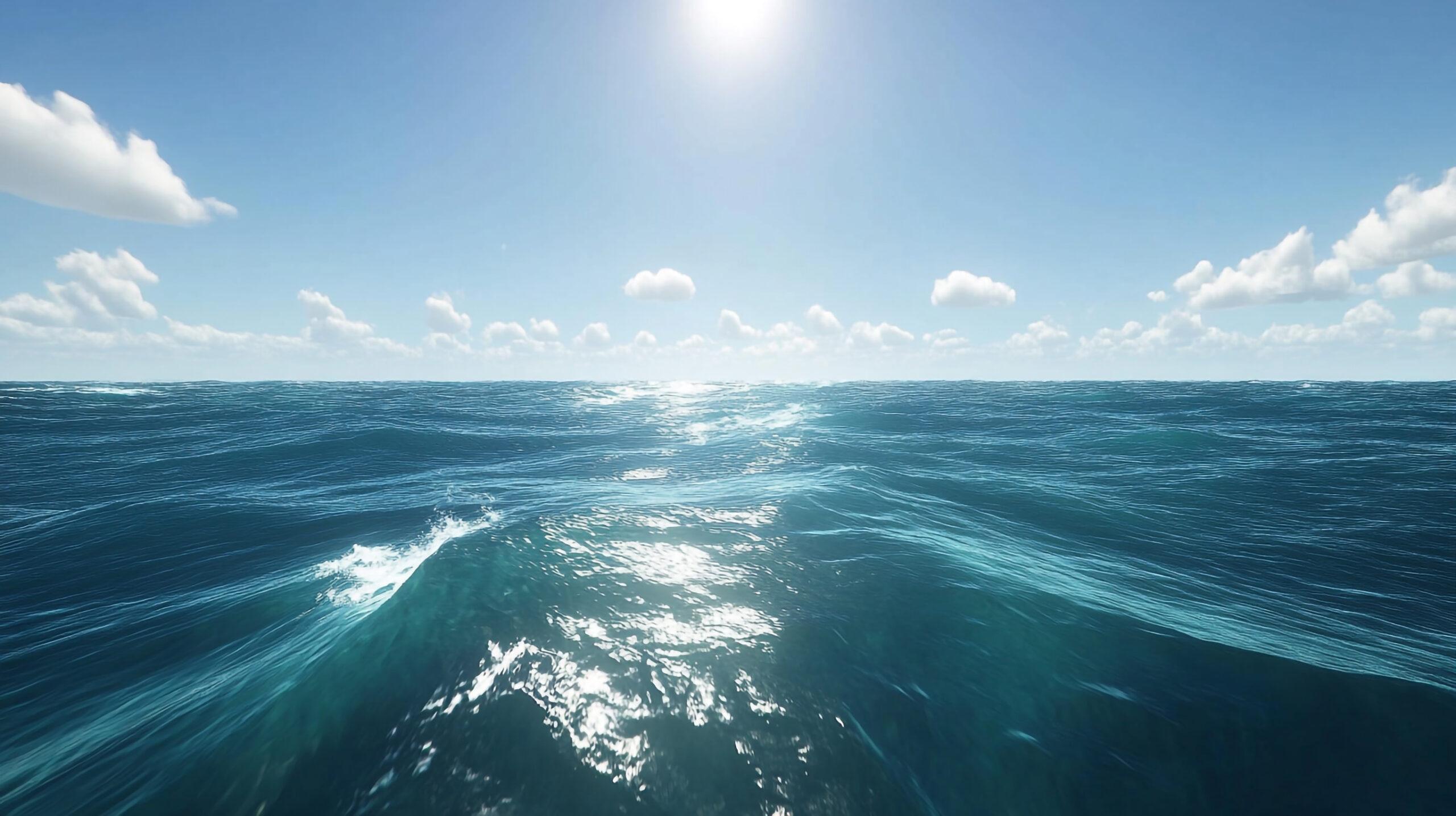
According to NASA’s interactive map, over the next 30 years sea level is expected to rise by a further 169 millimetres, continuing a trend that has seen the rate of rise double over the last 30 years.
This figure, however, needs to be placed in the context of a broader projection extending to 2150, with scenarios that depend on greenhouse gas emission levels and future climate change.
The alarm raised by these maps is, in reality, not unambiguous. On the basis of the processing of millions of data points, they make it possible to view different scenarios according to various levels of CO2 emissions and climate change, which in turn are influenced by the so-called SSPs, Shared Socioeconomic Pathways, which may vary.
Regional projections
Let’s turn to the projections divided by major areas and coastal zones of the planet.
Here, in broad terms, are the results that emerge from consulting the NASA maps.
Mediterranean:
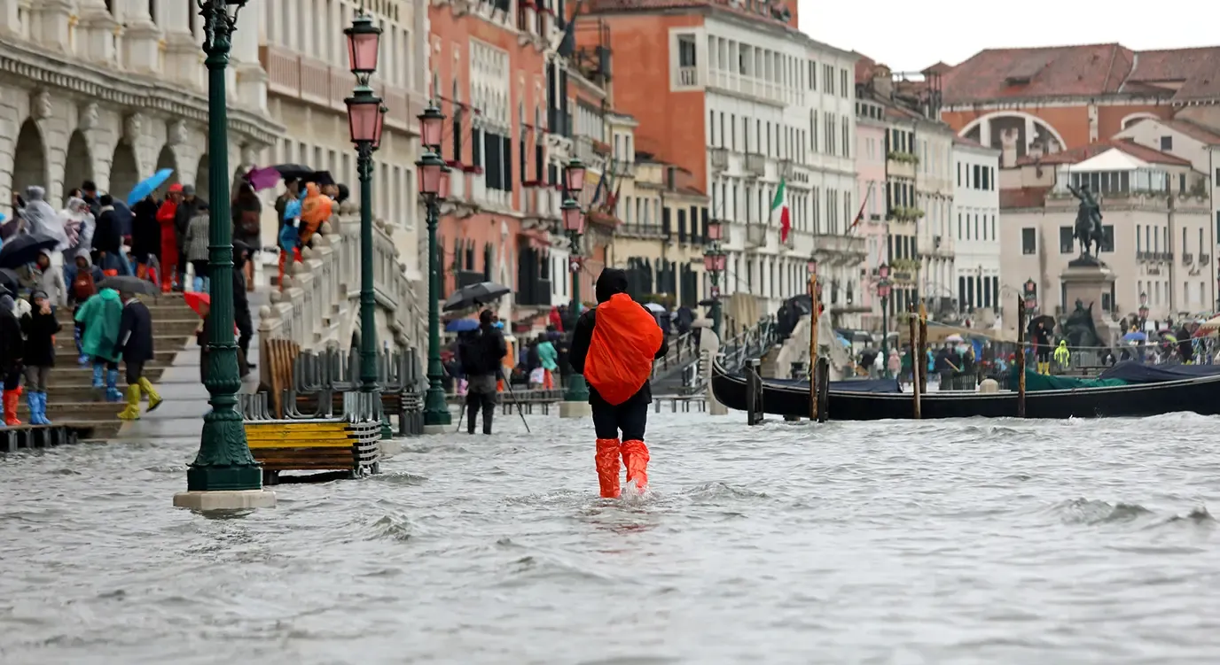
Italy and other areas of the Mediterranean: higher rates of sea level rise than the global average are expected. This could have significant impacts on cities such as Venice and other low-lying coastal areas.
Northern Europe:
Netherlands: half of the population lives below sea level, making it particularly vulnerable to flooding.
Asia:
China, India, Bangladesh: these countries have vast coastal areas at risk of flooding due to sea level rise.
North America:
United States: cities such as New York and Miami are at risk of flooding due to sea level rise.
Oceania:
Australia: the Australian coasts are at risk, especially during storm surges and extreme weather events.
Pacific: atolls such as the Maldives and Tuvalu are at risk of being submerged.
In particular, if we examine the projections for the world’s cities at risk of being submerged, we find:
Venice (Italy): affected by frequent flooding and subsidence.
Amsterdam and the Netherlands: half of the population lives below sea level, so Amsterdam is one of the major cities in the world most at risk.
Jakarta (Indonesia): the Indonesian capital is at risk of flooding due to sea level rise and subsidence.
Shanghai, Hanoi, Kolkata, Hong Kong, Osaka, Tokyo: the Asian cities most exposed to significant flood risks.
Rio de Janeiro (Brazil): the beaches and some neighbourhoods risk being submerged.
In short, there is, unfortunately, something for everyone.
Actions to take
Let us therefore recall the essential list of measures that international organisations have long set out as possible and indispensable remedies to avoid this globally apocalyptic scenario.
They involve a combination of conservation strategies, defensive infrastructure and sustainable planning. Here are some of the most effective measures:
Coastal defence
Beach nourishment: this helps to maintain the width of beaches and to protect the areas behind them from erosion.
Building dykes and protective walls: these structures can prevent the flooding of coastal areas during storm surges or sea level rise.
Conservation and environmental restoration
Restoring natural ecosystems: ecosystems such as sand dunes and coral reefs offer natural protection against waves and erosion.
Planting coastal vegetation: vegetation can help to stabilise the soil and reduce erosion.
Land-use planning and regulation
Coastal zoning: limiting construction in areas at risk of flooding or erosion.
Building codes: imposing construction standards that are resistant to flooding and erosion.
Monitoring and prevention
Monitoring systems: using advanced technologies to monitor weather conditions and storm surges.
Emergency plans: developing evacuation and rapid response plans in case of emergencies.
Education and awareness
Educational programmes: informing the local population about the risks and protective measures.
promoting the active participation of local communities in coastal protection.
International collaboration
Sharing knowledge and technologies: collaborating with other countries to share best practice and advanced technologies in coastal protection.